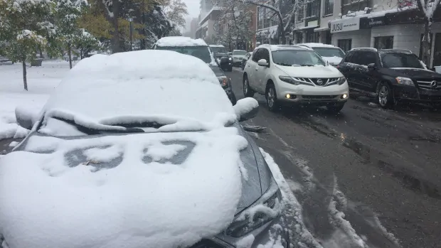
Prepare yourselves for more snow, Alberta.
Special weather statements were in place for the entire province on Sunday afternoon, with Environment Canada warning of a “chilling change in the weather.”
The agency said a low pressure system is developing in the Yukon and moving into the Northwest Territories Sunday night.
That system will be accompanied by an intense cold front dropping south through northern Alberta on Monday and through southern Alberta by Tuesday morning.
“The gusty northerly winds behind the cold front will bring a 20 C degree drop in temperatures, with Tuesday highs below zero throughout the province,” the statement read as of 5 p.m. Sunday.
The cold front’s going to be accompanied by mixed precipitation — rain is expected to become snow, especially in the southwest part of the province.
Snowfall could pile as high as 20 centimetres in the Foothills, and snowfall warnings of 15 to 25 centimetres are expected for the Highway 93 Icefields Parkway.
That heavy snow should taper off by Tuesday night.
“Prepare for quickly changing weather with gusty winds, poor visibility in heavy snow and deteriorating driving conditions,” the agency stated.
Last week, nearly a meter of snow walloped southern Alberta.