Time to hunker down and bundle up.
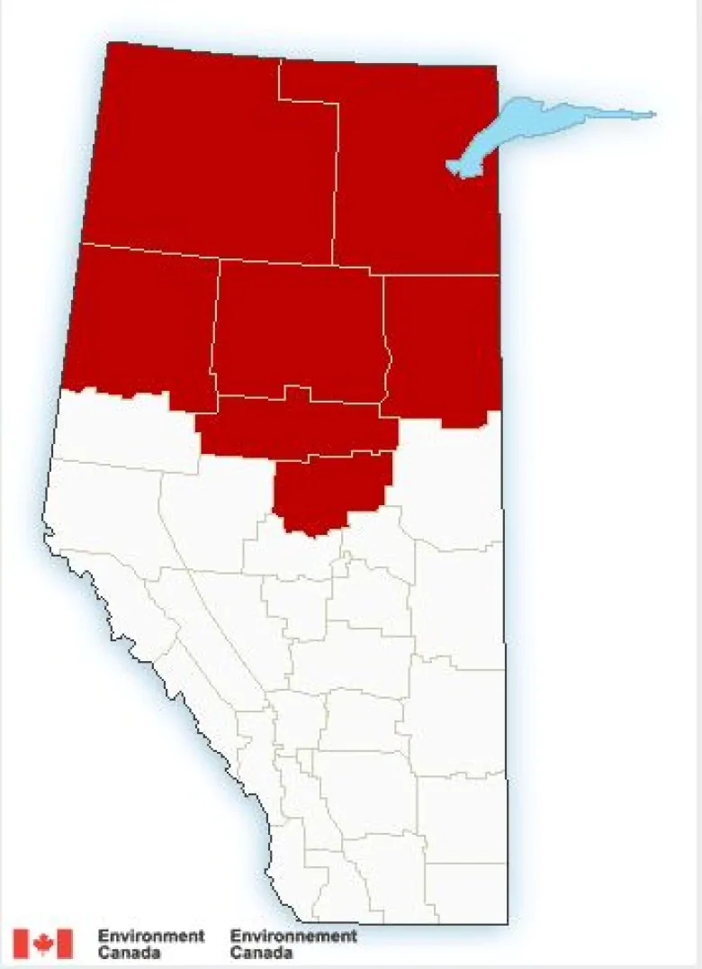
Communities across northern Alberta are expected to get slammed with heavy snow Thursday afternoon as an arctic air mass throws much of the province into a deep freeze.
Snowfall warnings were issued by Environment Canada Wednesday morning.
Between 10 and 20 centimetres of snow is expected in High Level, Fort Vermilion, Peace River, High Prairie, Slave Lake, Wabasca, Westlock and Athabasca.
“A narrow band of heavy snow will taper to flurries from north to south later [in the] afternoon,” said the Environment Canada warning.
Meanwhile, extreme cold warnings remain in place for the Wood Buffalo region as an arctic air mass brings frigid temperatures to the region.
The biting wind will make it feel like minus 40 to 50 overnight and through the early morning hours, Environment Canada warned.
“Increasing cloud southwest of Fort McMurray should keep that area from experiencing minus 40 wind chills tonight, but clear skies northeast of Fort McMurray will give colder temperatures and wind chills.
“Watch for cold related symptoms: shortness of breath, chest pain, muscle pain and weakness, numbness and colour change in fingers and toes.”